Press release – Hannover, 09/01/2025
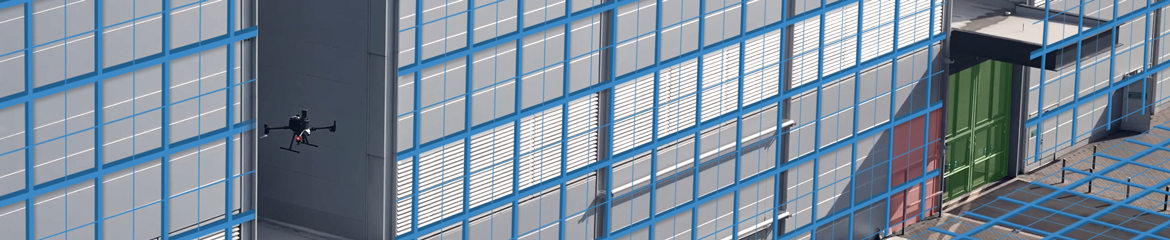
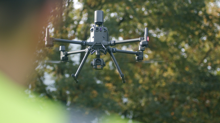
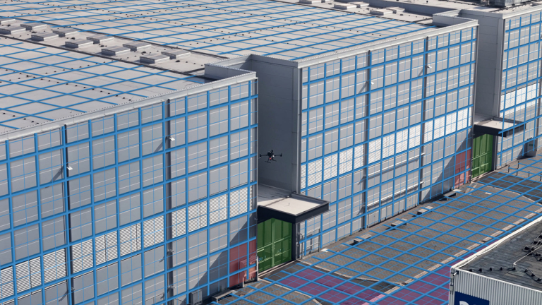
The 5GAPS research project demonstrates at the Deutsche Messe AG in Hannover how 5G technology can support authorities and organizations with safety responsibilities. Using a digital twin, augmented reality, and localisation technologies, emergency operations can be coordinated more efficiently and safer.
The 5GAPS research project presented its results for the BOS (authorities and organizations with safety responsibilities) use case at the Deutsche Messe in Hannover. With the developed digital twin, the project researches how BOS operations can be better coordinated.
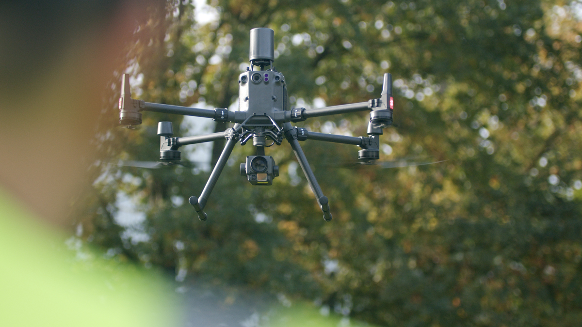
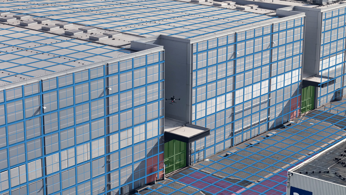
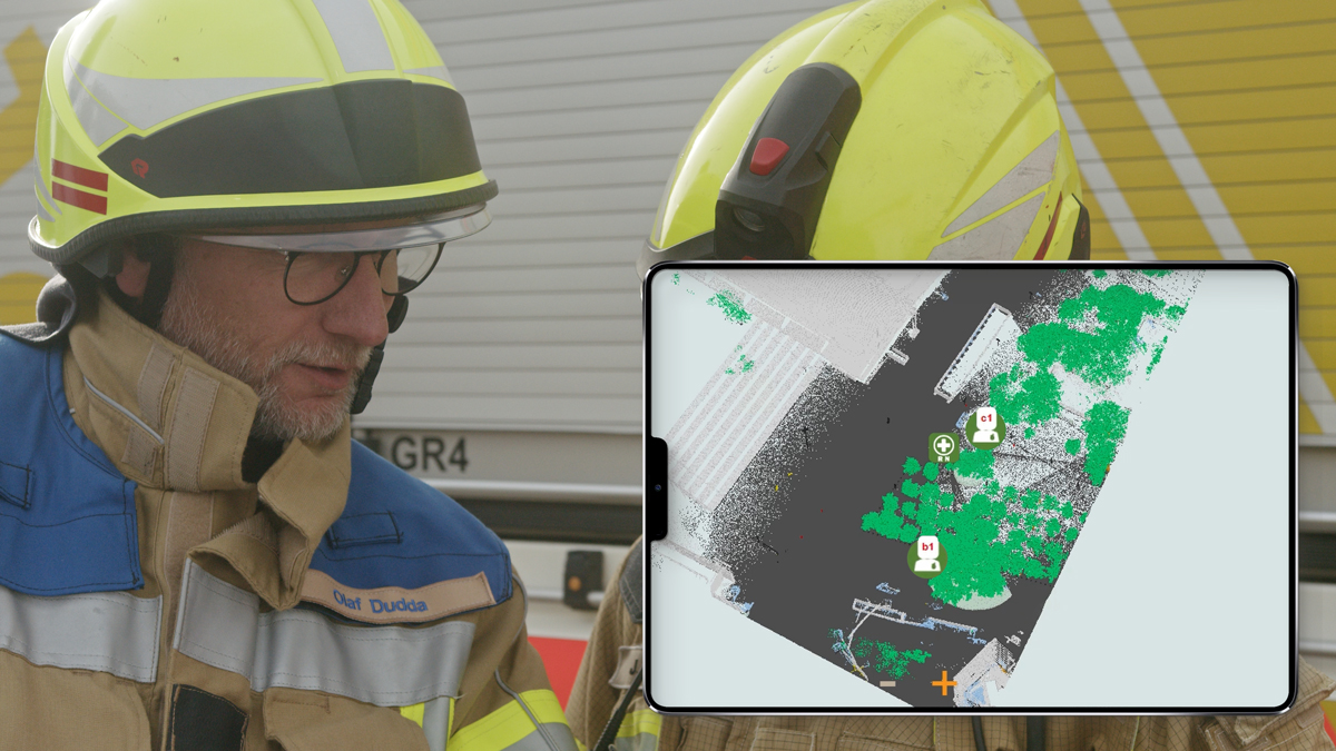
The newly developed map provides a 3D representation of the real world, enriched with dynamic, real-time data on objects, people, and obstacles. The visualization of the city twin in bird's-eye view on a PC or tablet, along with an augmented reality app for smartphones, enables precise coordination and communication among emergency responders. The devices allow the exchange of exact positions for key objects, and additional GPS tracking further enhances operational monitoring.
The project was implemented by partners from research and practice, offering insight into future solutions that improve information flow and decision-making for emergency response teams.
- Funded by the Federal Ministry of Digital and Transport based on a resolution of the German Bundestag, funding reference 45FGU121_E.
-
Access to Public Spaces via 5G (5GAPS)
About the IPH
The IPH – Institut für Integrierte Produktion Hannover gGmbH (which literally translates into Hannover institute of integrated production) is a service provider for production technology and was established in 1988 at the Leibniz University in Hannover. The IPH offers research and development, consultation and qualification concerning the subjects of process technology, production automation and logistics. Its customers include companies from the sectors of tool and mould construction, machine and plant construction, aerospace and the automotive industry, electro industry and forging industry.
The business has its headquarters in the science and technology park – Science Area 30X in the northwest of Hannover and currently employs about 80 people, of which about 30 are scientific personnel.


